|
|
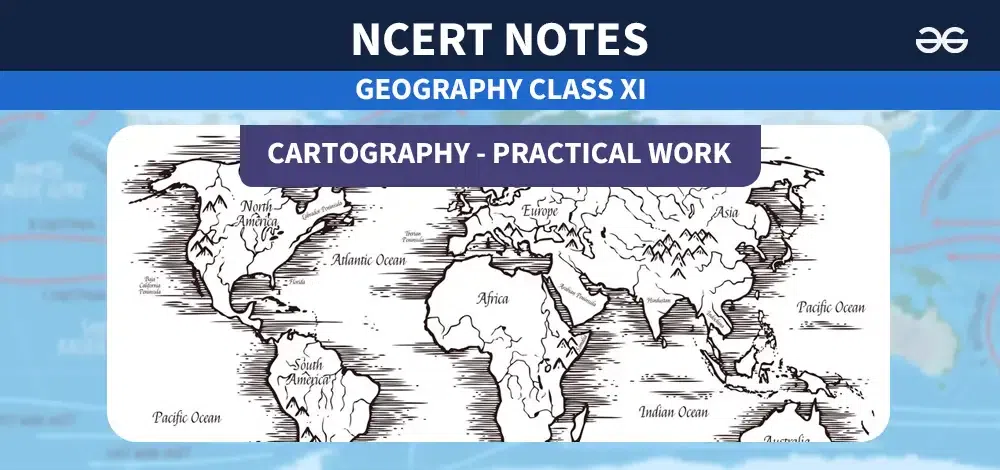
Class 11 Geography Cartography: Maps have been essential tools for understanding and navigating the world around us for centuries. From the earliest maps etched on clay tablets to modern digital cartography, the art and science of mapmaking have evolved significantly. Today, maps serve a wide range of purposes, from guiding travelers to aiding urban planning and environmental conservation. Cartography: Class 11 Geography Notes- Practical Work Cartography – Brief HistoryCartography is the study and practice of making maps. People have been making maps for a very long time, even before writing was invented. The earliest known maps were made on clay tablets and bones by ancient civilizations like the Babylonians and Greeks. In the Middle Ages, mapmakers called cartographers started making more accurate maps by exploring new lands and using better tools. During this time, important maps like the Ptolemy world map were created. The Age of Exploration in the 15th to 18th centuries saw a big growth in cartography. Explorers like Christopher Columbus and Ferdinand Magellan made new maps as they traveled to new places. New mapping techniques like using a compass and making measurements also helped create better maps. In the modern era, cartography became more scientific with the use of aerial photography, satellites, and computers. Today, digital maps and Geographic Information Systems (GIS) allow us to make very detailed and accurate maps of the entire world. Cartography – TypesThere are many different types of maps, each designed for a specific purpose: 1. Political Maps: These maps show borders between countries, states, cities, and other political boundaries. 2. Physical Maps: These maps display natural features like mountains, rivers, lakes, and deserts. 3. Topographic Maps: These maps show the shape and elevation of the land, including hills, valleys, and contour lines. 4. Road Maps: These maps are used for navigation and show highways, roads, and other transportation routes. 5. Climate Maps: These maps display information about weather patterns, temperatures, rainfall, and other climate data. 6. Resource Maps: These maps show the location and distribution of natural resources like minerals, oil, and forests. 7. Thematic Maps: These maps focus on a particular theme or subject, such as population density, economic activity, or health statistics. Cadastral Maps and PlansCadastral maps and plans are special types of maps used for land ownership and management. They show the precise boundaries and dimensions of land parcels, buildings, and other structures. Cadastral maps are used by governments and landowners to keep records of property boundaries, rights, and ownership. They are created by surveying the land and recording accurate measurements and legal descriptions. These maps are important for many purposes, such as: 1. Buying and selling land: Cadastral maps clearly show the boundaries of a property, making it easier to transfer ownership. 2. Property taxes: Local governments use these maps to calculate property taxes based on the size and value of land parcels. 3. Land use planning: City planners use cadastral maps to manage land use, zoning, and development projects. 4. Environmental protection: These maps help identify sensitive areas and protect natural resources on private and public lands. 5. Resolving land disputes: Accurate cadastral maps can help settle disputes over property boundaries and ownership. Topographic Maps – Uses and ApplicationsTopographic maps are special maps that show the shape and elevation of the land surface, including hills, valleys, and contour lines. They are very useful for a variety of purposes:
ConclusionWhether for recreational, educational, or professional purposes, maps continue to play a vital role in our lives. As technology advances, the field of cartography will likely continue to evolve, providing us with even more detailed and interactive ways to visualize and understand our world. By understanding the various types of maps and their applications, we can better appreciate the invaluable contributions of cartography to our understanding of the world. Cartography-FAQsWhat is the difference between a political map and a physical map?
What are cadastral maps used for?
Why are topographic maps important for outdoor activities like hiking?
How has modern technology impacted cartography?
What is a thematic map?
|
Reffered: https://www.geeksforgeeks.org
| Class 11 |
Type: | Geek |
Category: | Coding |
Sub Category: | Tutorial |
Uploaded by: | Admin |
Views: | 14 |