|
|
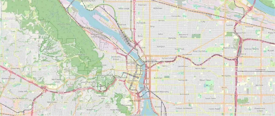
Folium is a powerful Python library that simplifies the process of creating interactive maps using Leaflet.js. One of its many features includes the ability to add lines and multilines to a map, which can be useful for visualizing routes, boundaries, and other linear data. This article will guide you through the steps to print a line or multiline in a new layer over a map using Folium. Table of Content Plotting Lines and MultilinesFolium is a Python library that bridges the gap between Python data manipulation and the Leaflet.js library. It allows for the creation of interactive maps that can be easily embedded in Jupyter notebooks and web applications. Folium supports various types of data visualizations, including markers, lines, polygons, and more. To plot a line or multiline in Folium, you can use the Setting Up Your Environment Before starting, ensure you have Folium installed in your Python environment. You can install it using pip: pip install foliumCreating a Basic MapFirst, let’s create a basic map centered at a specific location. We’ll use the Output: Basic Map 1. Adding a Single Line to the MapTo add a single line to the map, we use the Output: .webp) Single Line to the Map 2. Adding Multiple Lines (Multiline) to the MapTo add multiple lines, you can create several Output: .webp) Multiple Lines (Multiline) to the Map Customizing Line Properties Over a MapFolium allows you to customize various properties of the lines, such as color, weight, and opacity. You can also add tooltips and popups to the lines for additional interactivity. Output: .webp) Customizing Line Properties Adding Lines to a New LayerTo add lines to a new layer that can be toggled on and off, use the Output: .webp) Adding Lines to a New Layer Open the ConclusionIn this article, we covered how to print a line or multiline in a new layer over a map using Folium. We started with creating a basic map, adding single and multiple lines, customizing line properties, and finally adding lines to a new layer. Folium’s flexibility and ease of use make it an excellent choice for creating interactive maps in Python. |
Reffered: https://www.geeksforgeeks.org
| AI ML DS |
Type: | Geek |
Category: | Coding |
Sub Category: | Tutorial |
Uploaded by: | Admin |
Views: | 22 |